
2026 Puget Sound Tidelog
SKU:
$
in stock
Including Seattle, Port Townsend, south to Tacoma and Olympia, and north to the San Juan Islands.
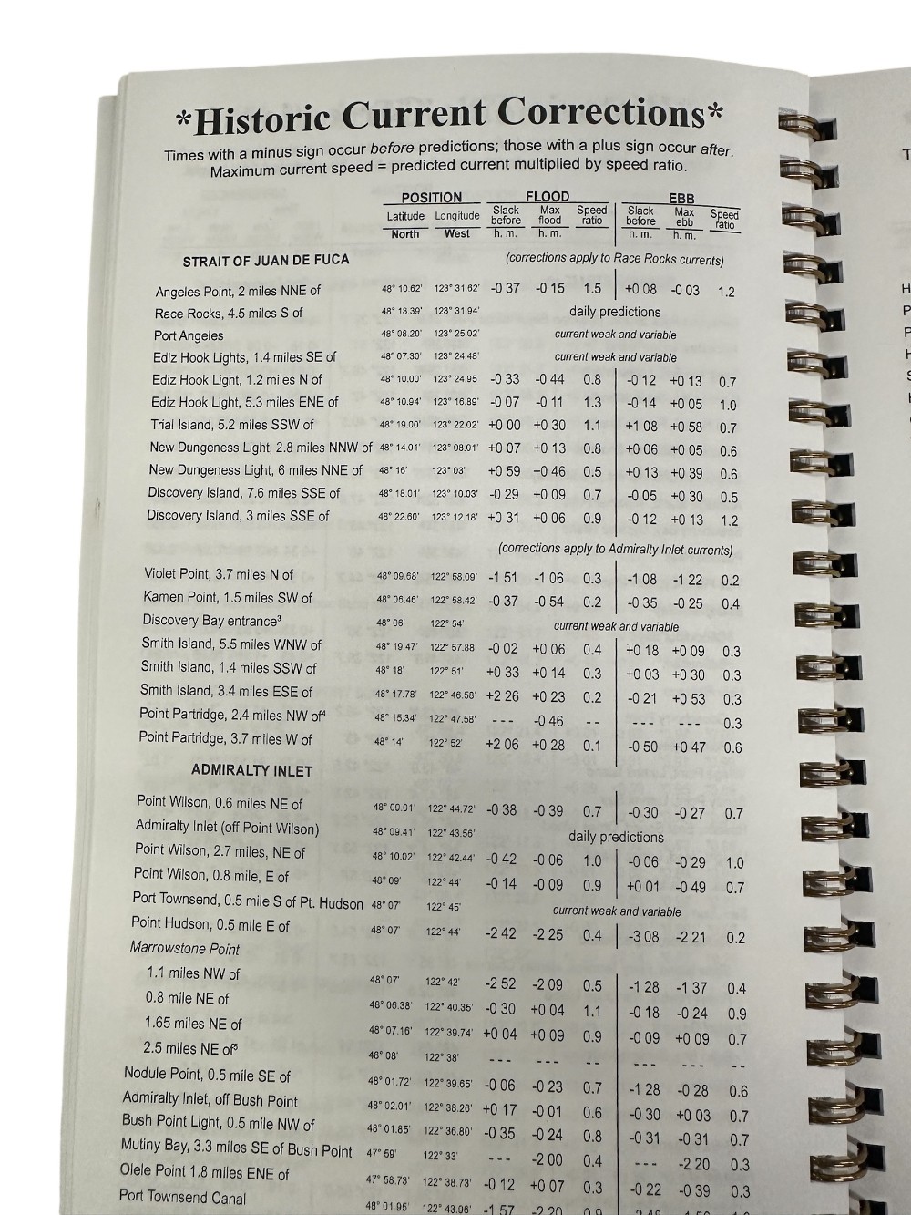
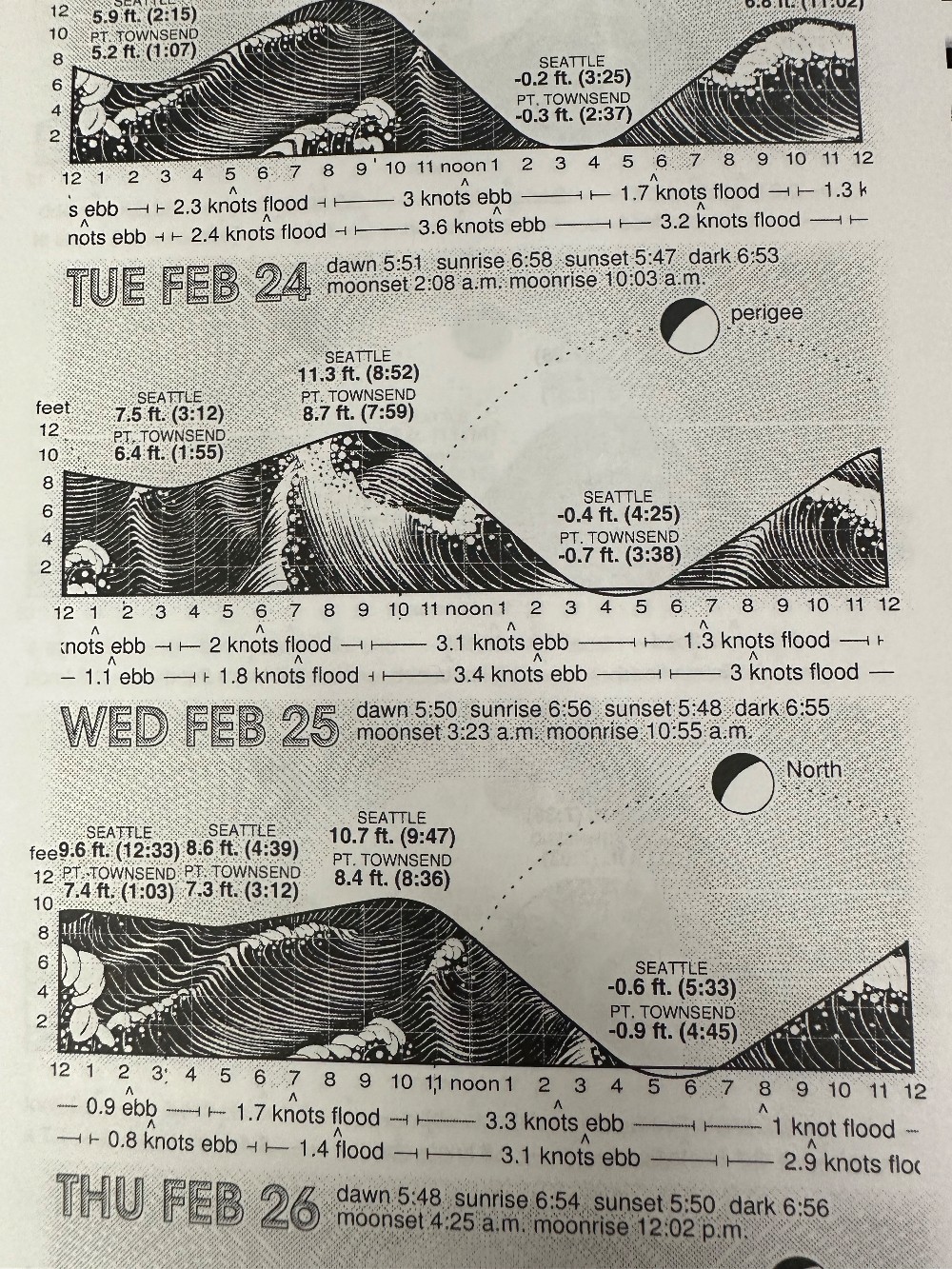
Daily Tidelog Graphics are based on NOAA predictions for Seattle with times and heights for Seattle and Port Townsend. Time and strength of maximum currents and times of slack water are shown daily in the North Sound at Admiralty Inlet, off Bush Point, and in the South Sound at Tacoma Narrows north end, at midstream. Included at the back of the Tidelog are tide tables for Toke Point and current tables for Race Rocks, Rosario Strait, Deception Pass, Lawrence Point and San Juan Channel. Also included are Tidal Current Charts, which offer a comprehensive view of the tidal currents throughout Puget Sound.